May 19-21, 2023. 140 miles on a tandem
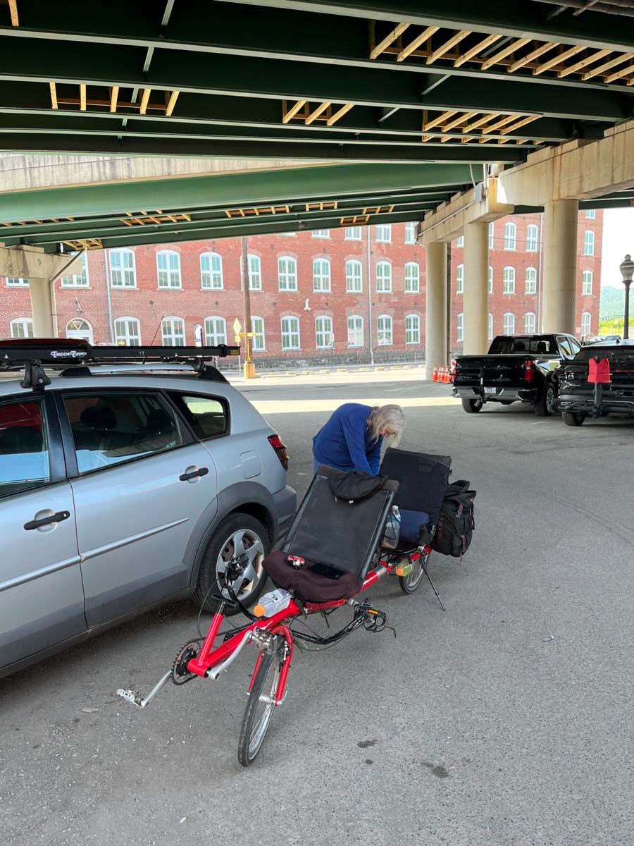
The trip started with a two and a half hour drive to Cumberland, MD where the Great Allegheny Passage and C & O Canal trails meet. We parked the car under the interstate and headed towards Meyersdale, PA 32 miles away, 24 of which were uphill. Being an old railroad track the up hill was not steep, nevertheless, there was no coasting.
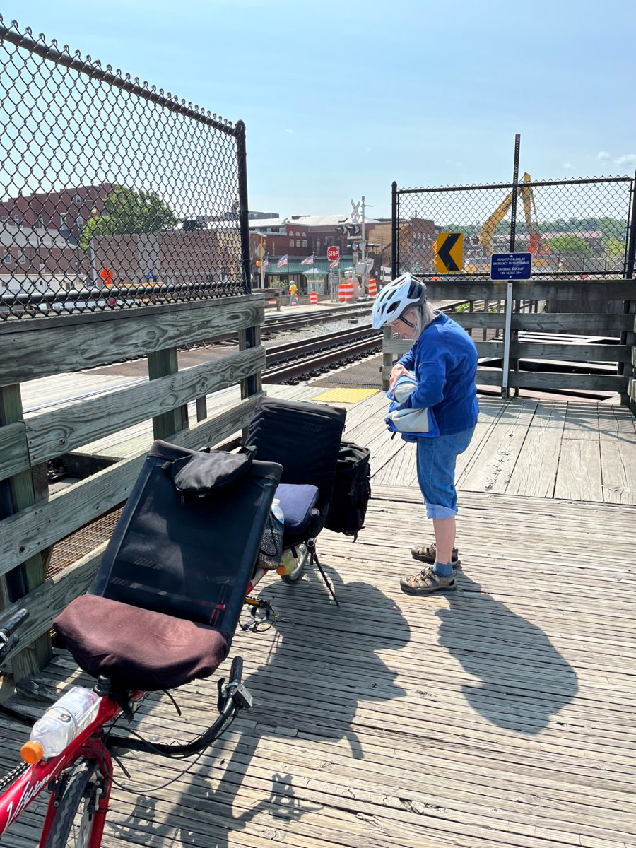
The first of six railroad crossings. As one can tell we are still in town. But it is not long before we are getting country vistas.
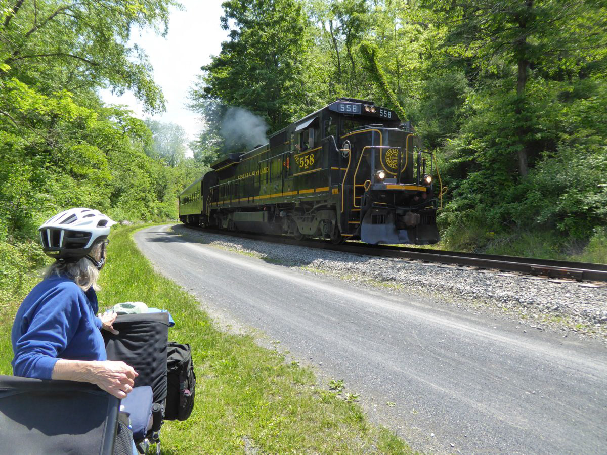
From Cumberland to Frostburg, MD we travelled parallel to an active scenic railway. Normally it is a steam engine on this trip but it is under repair I was told.
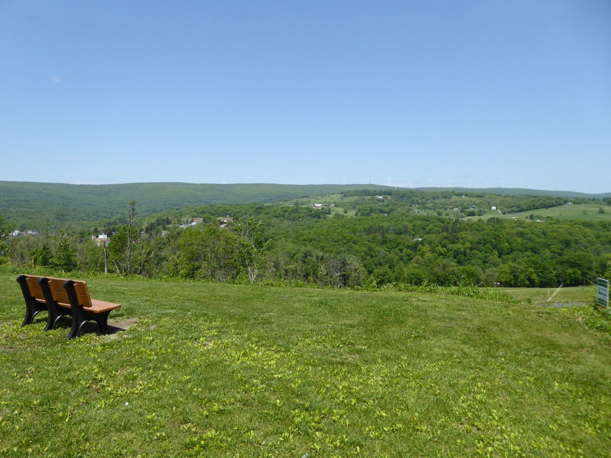
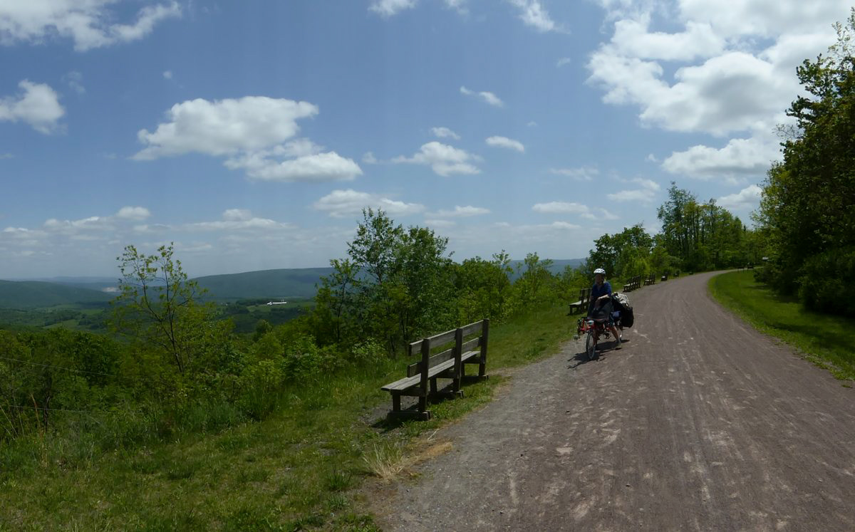
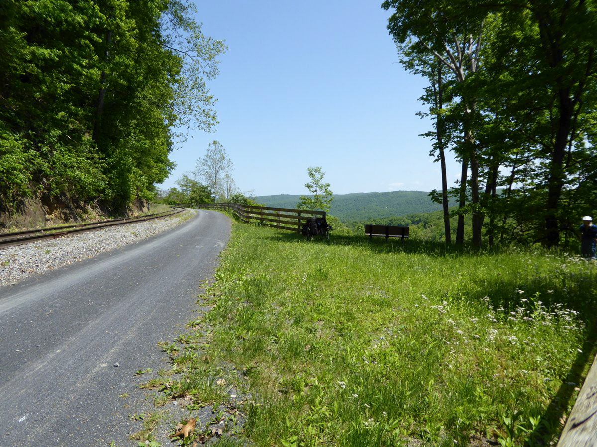
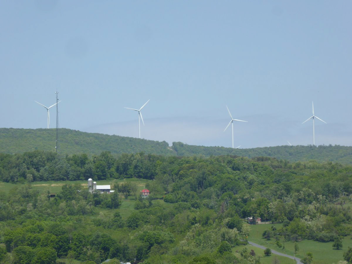
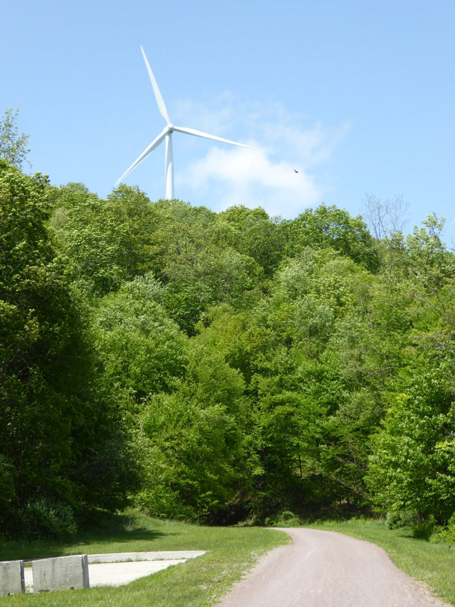
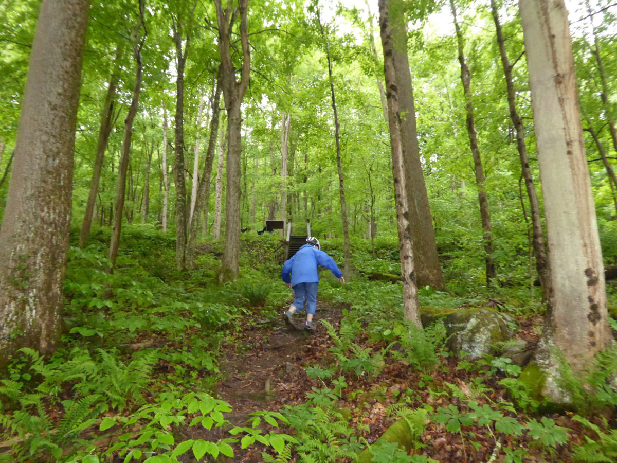
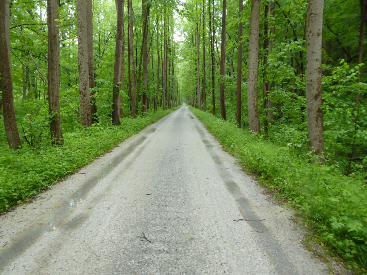
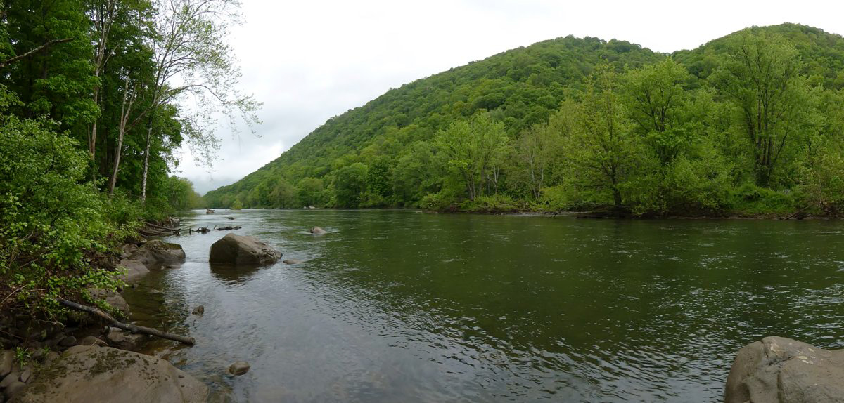
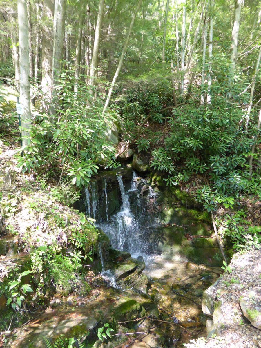
This part of the trip is characterized by broad scenic vistas.
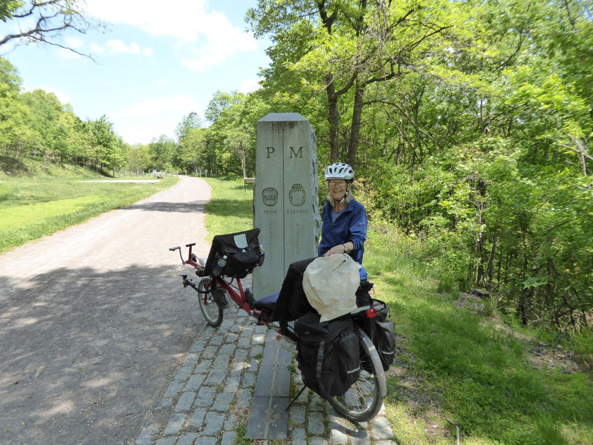
And the crossing of the Mason Dixon line which was surveyed in the 1760's using (among other things) a sixty foot iron chain. It took a few years to map out the 233 mile boundary (1763-1767)
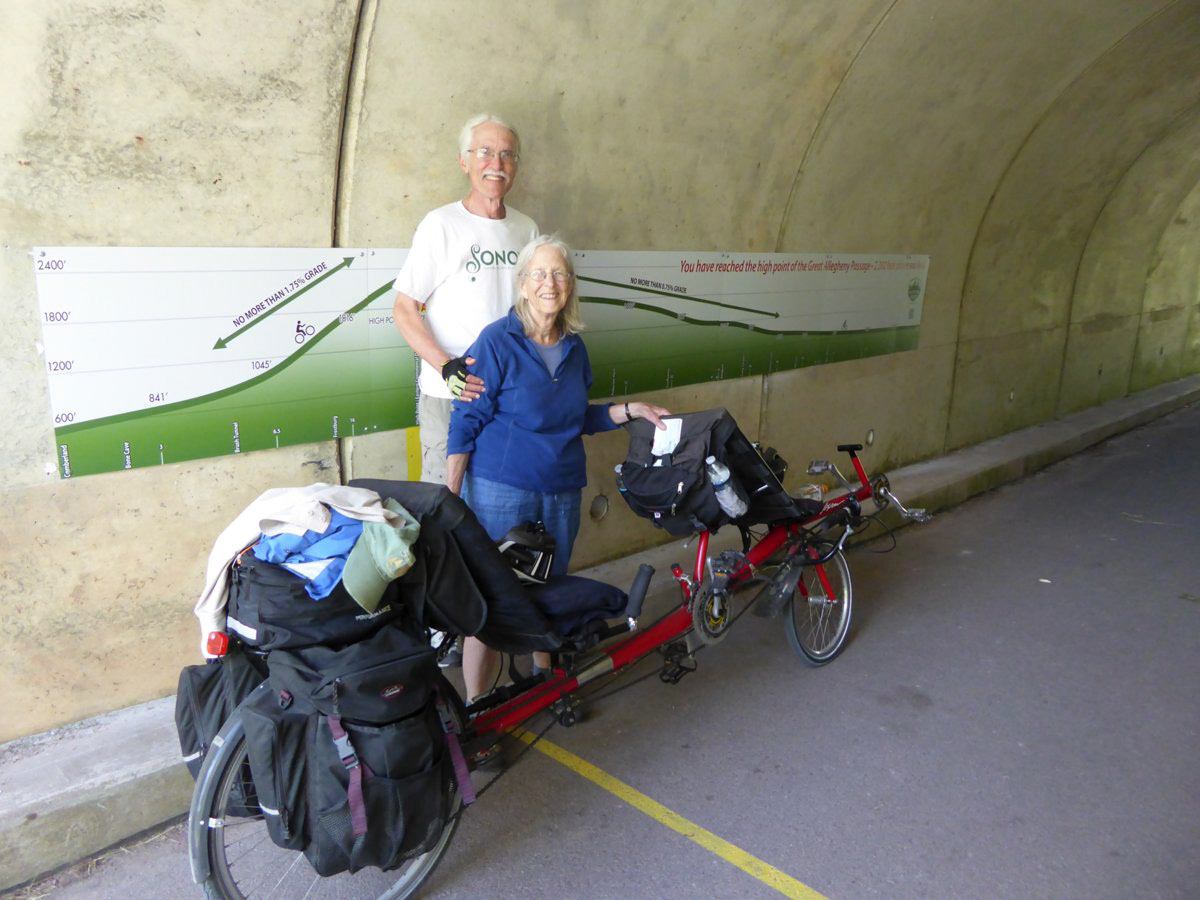
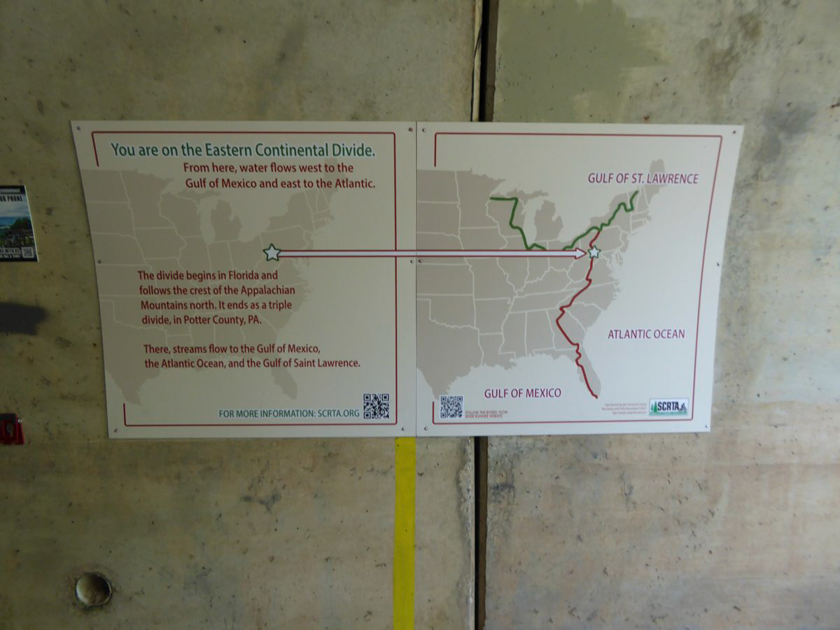
We have reached the highpoint of trail at 2362 feet, the Eastern Continental Divide. The rest of the day is downhill. Having come up from 600 feet even a slight downhill is noticeable and feels good.
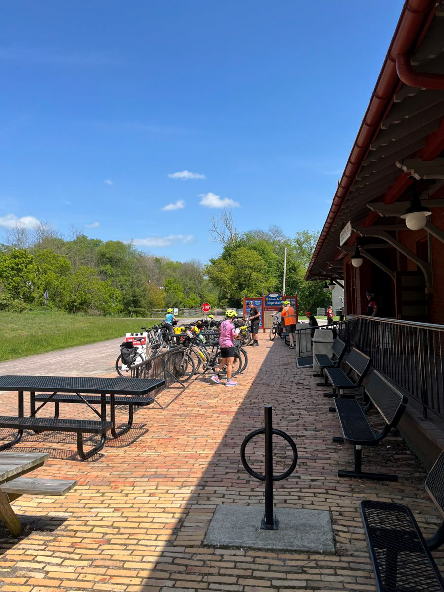
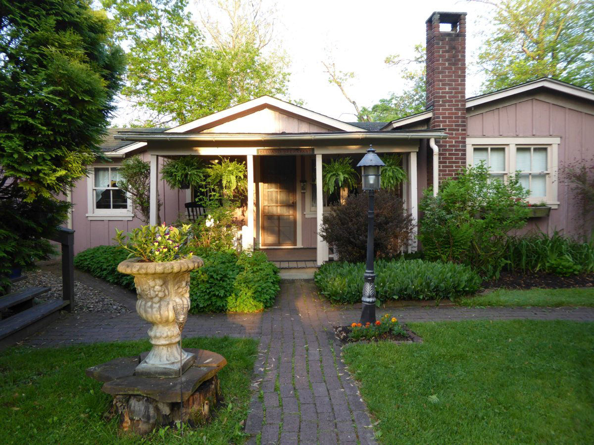
Meyersdale, PA where we spent the night in a very nice B and B
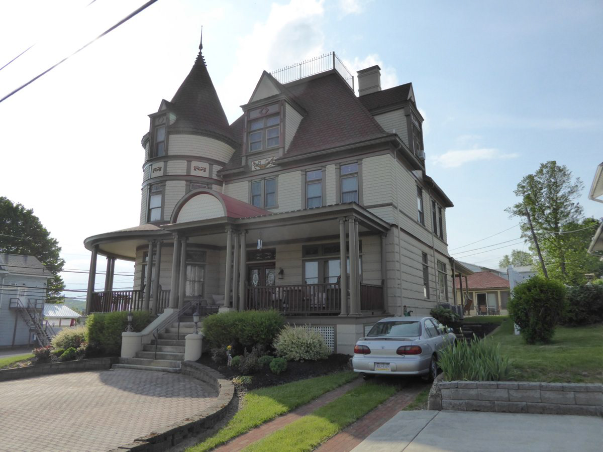
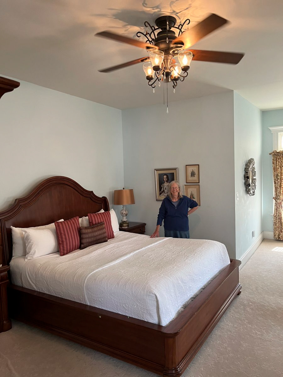
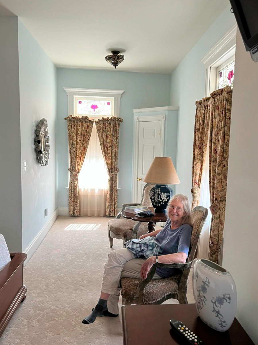
Enjoying comfort after a 32 mile ride.
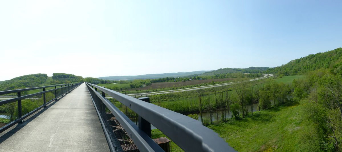
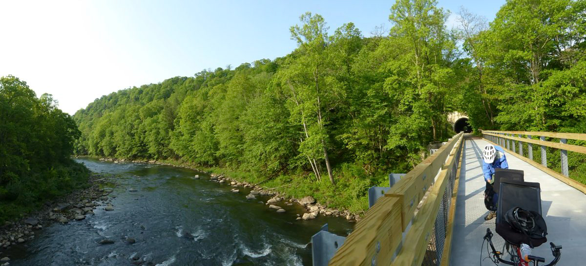
Day two had long bridges and tunnels. One tunnel was lit by motion sensitive lights, which meant in practice what was behind us was well lit .. You definitely wanted to be the second one to enter that tunnel.
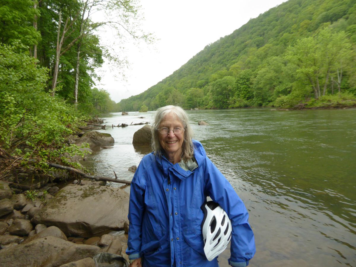
And we were along a river for much of the day, the Casselman and the Youghiogheny.
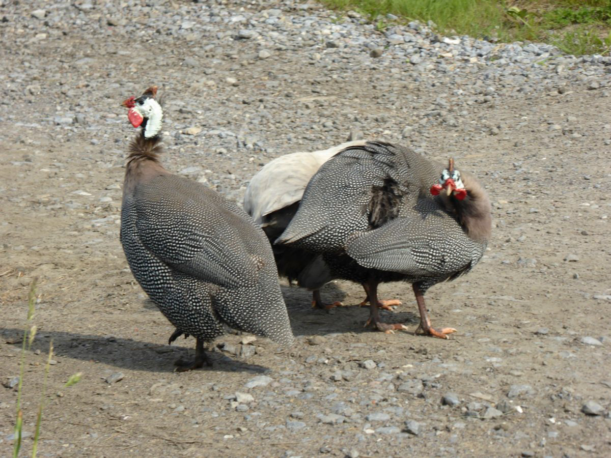
And limited wildlife, if a farmer's Guinea fowl count. We did see a fox in the distance and a deer or two
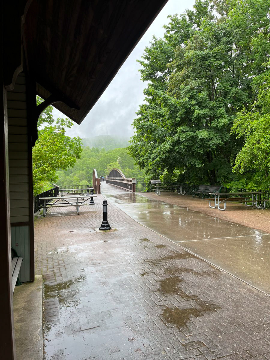
And then we had rain
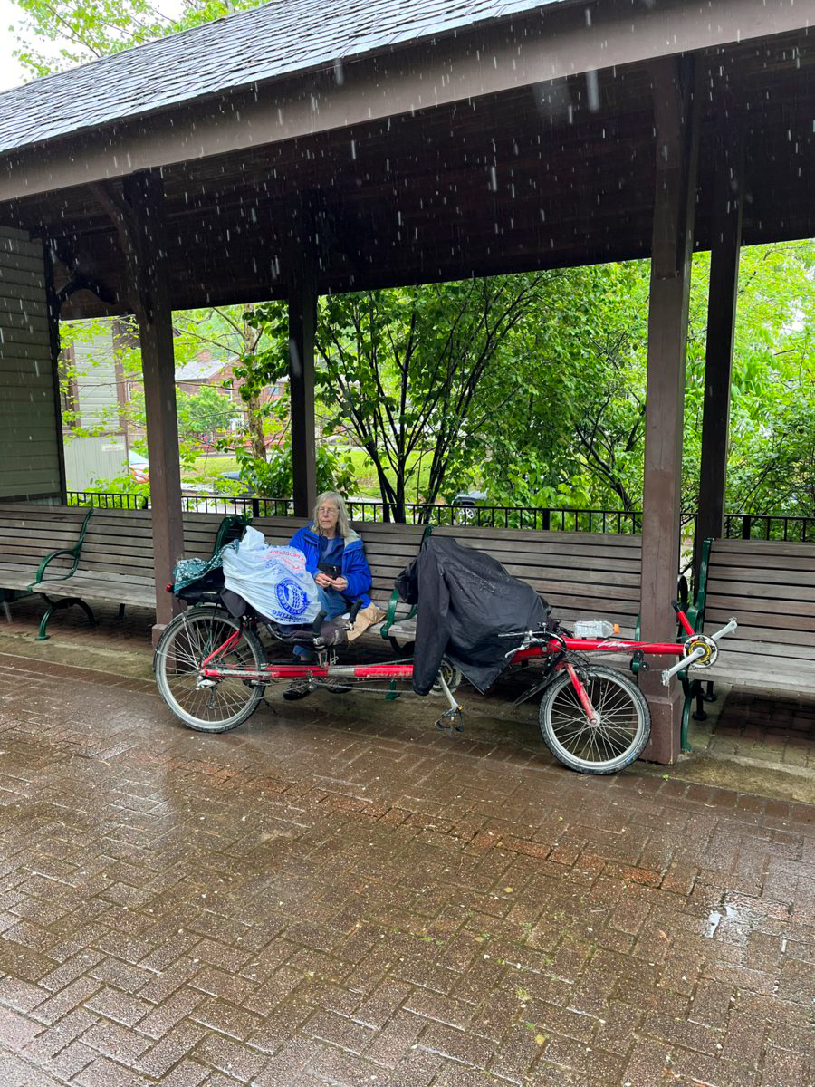
We sat here and watched the rain and chatted with other bikers for over an hour. This is in Ohiopyle, PA our furthest most point on the trail.
Once the rain lightened up enough we got back on the bike and headed to our B and B in Confluence, where the two above referenced rivers come together
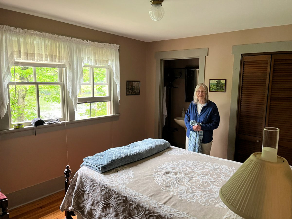
A lovely little room right on the river. A very nice setting where we ate dinner on the porch 20 feet from our room overlooking the river. Thus ended our 50 mile day.
Day three was 62 miles back to the car, 38 miles of which were a gentle uphill and 24 miles of slightly less gentle downhill.
And then to reprise the events of 7 years prior on the same date I took Barb's picture at the Continental Divide, which was the last picture taken on that trip as we fell on a rain slick railroad crossing having managed 4 of them successfully and Barb's hip was broken.
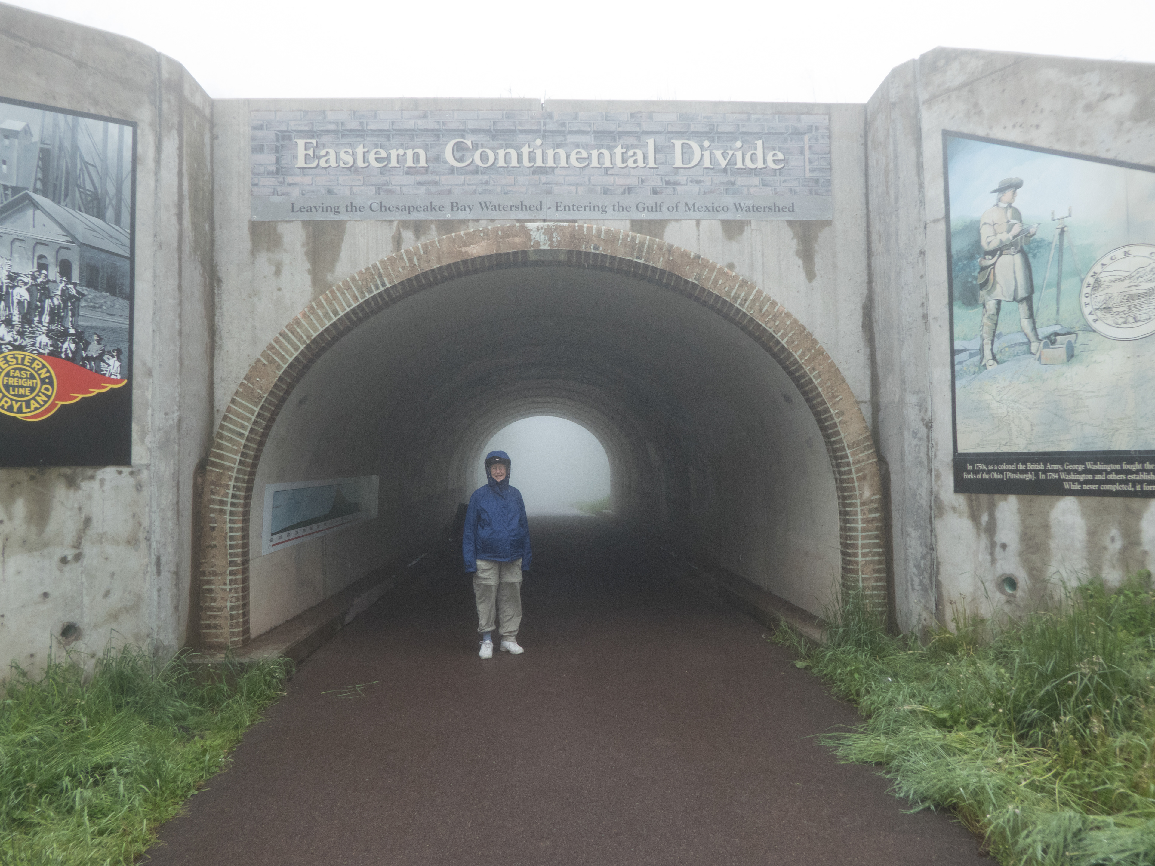
Seven years ago picture.
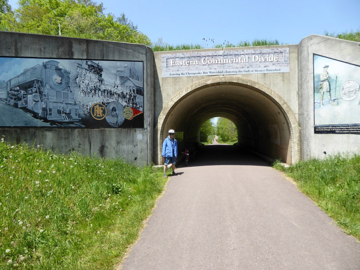
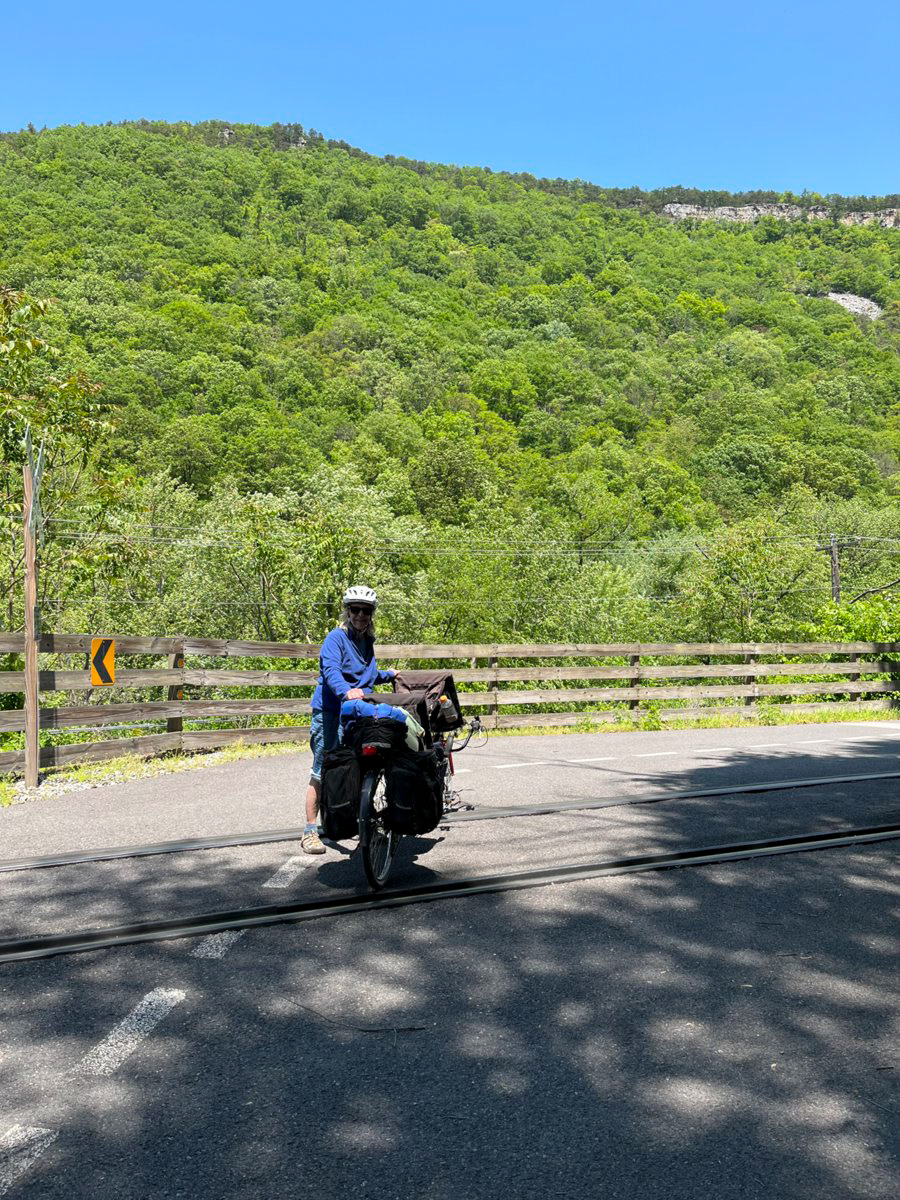
This year's picture and this year's final picture taken at the site of the crash 7 years ago.
This was a wonderful trip for us and a number of things came together, I believe, to help make it so. Barb's medical team has paid attention and made adjustments so her strength and energy are rebounding even as she stays in treatment. And we trained for 210 miles in the weeks leading up to the trip.